
Service Areas
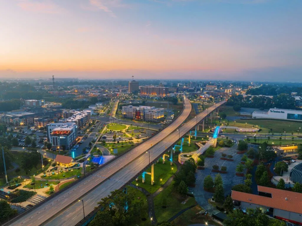
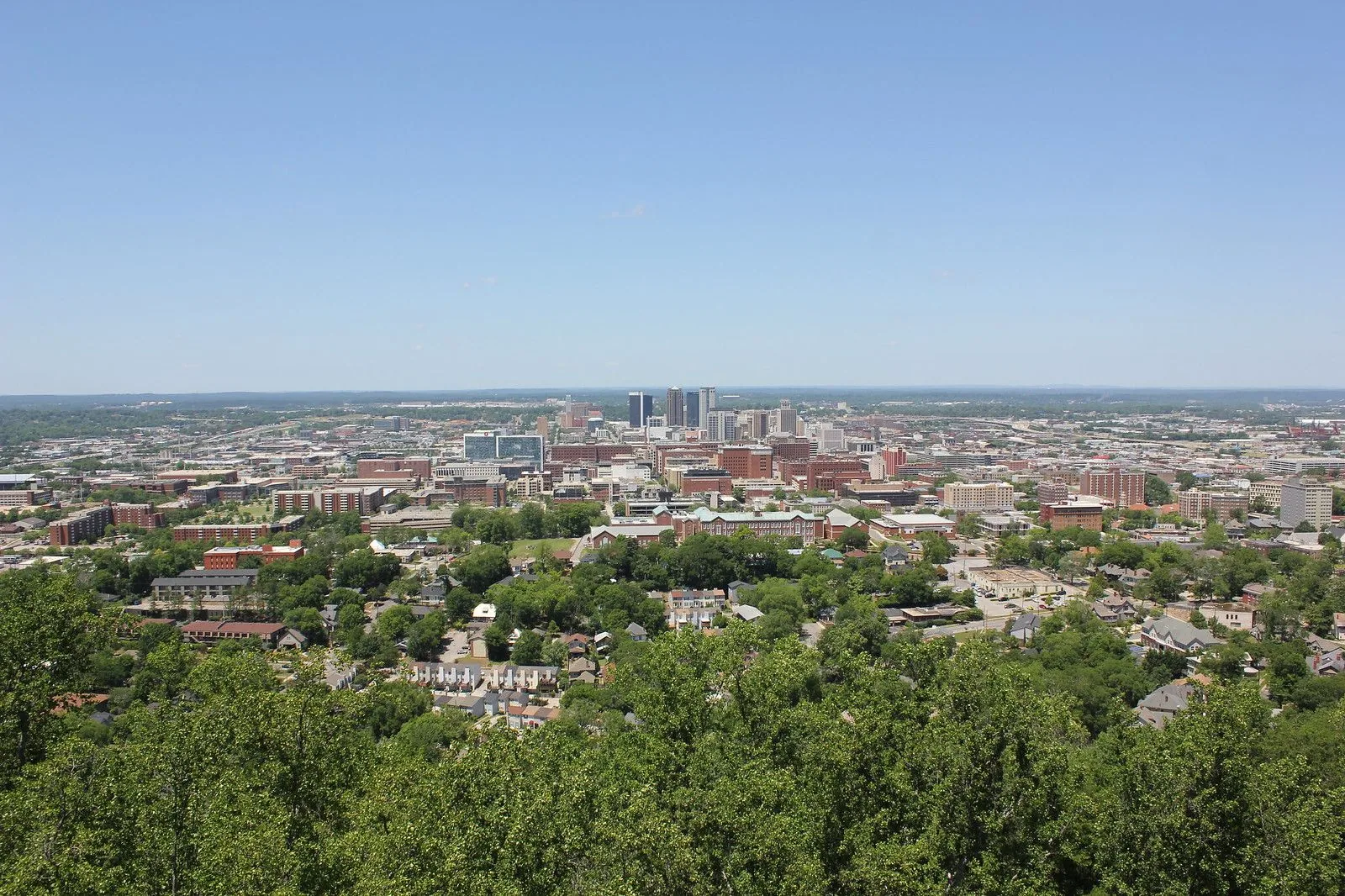
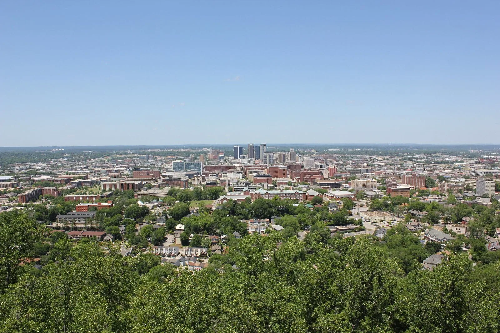
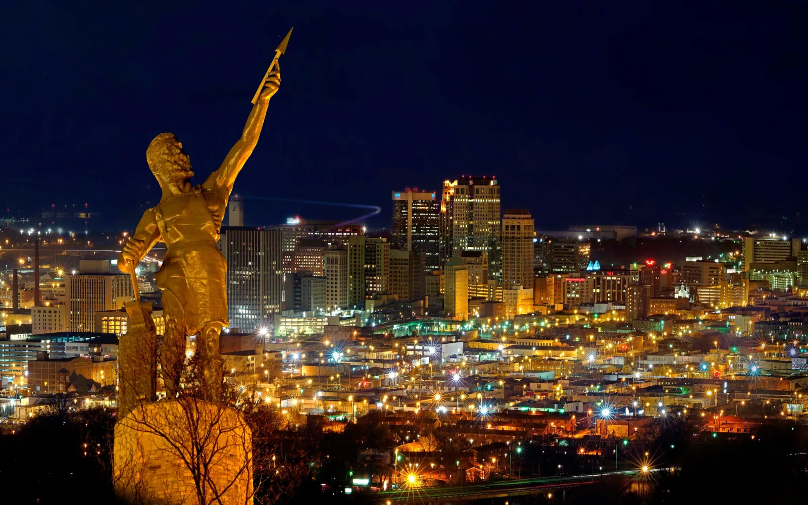
A superintendent working Tuscaloosa, AL learns the map by its roof types: retail strips along McFarland and University Boulevards, industrial sheds near the airport, supplier plants east of the city and institutional campuses on the river side. Each district has its own mix of buildings, access rules and storm history, and the roofs are walked with that mix in mind. The service area runs from the city center out through the towns that make up the Tuscaloosa metro.
More About Service Areas
Inside the city
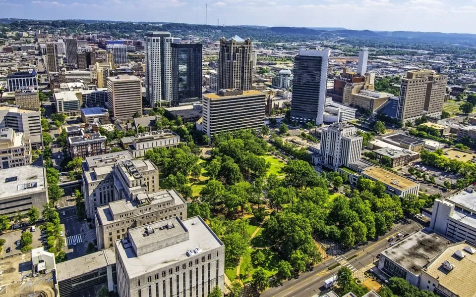
Downtown holds government, institutional and riverfront buildings, while the retail core stretches along the McFarland Boulevard corridor and the University Boulevard corridor. Alberta City took the heaviest damage on April 27, 2011, and its roofs are read with that history in mind.
Industrial and business parks
Two parks carry most of the industrial roofs: the Tuscaloosa Airport Industrial Park off Robert Cardinal Road and Cedar Cove Technology Park a mile from I-59. The Rosedale and 35th Street industrial area lost warehouses in 2011. These sites favor long drain runs, rooftop units and phased work around production, and the first walk on each checks the deck and the drain sumps before the membrane.
Nearby towns
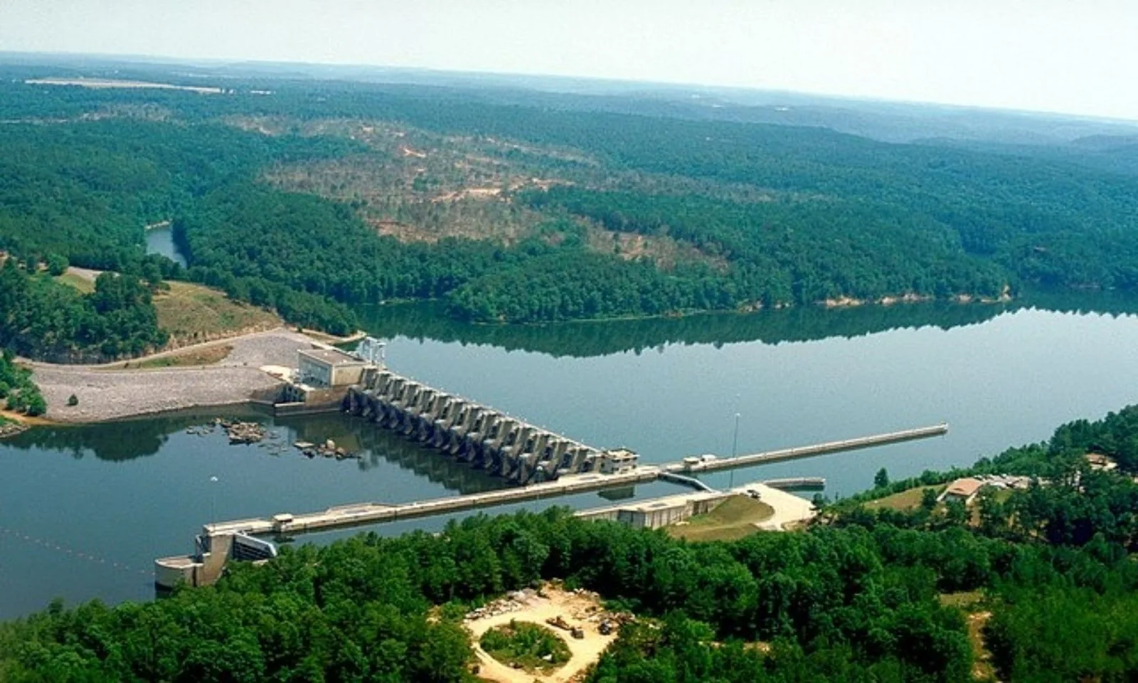
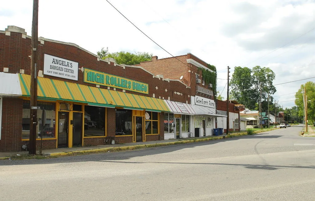
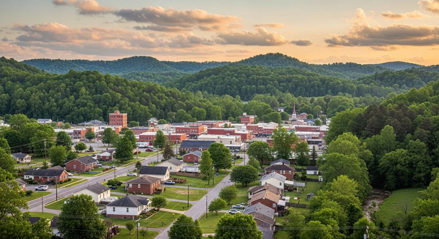
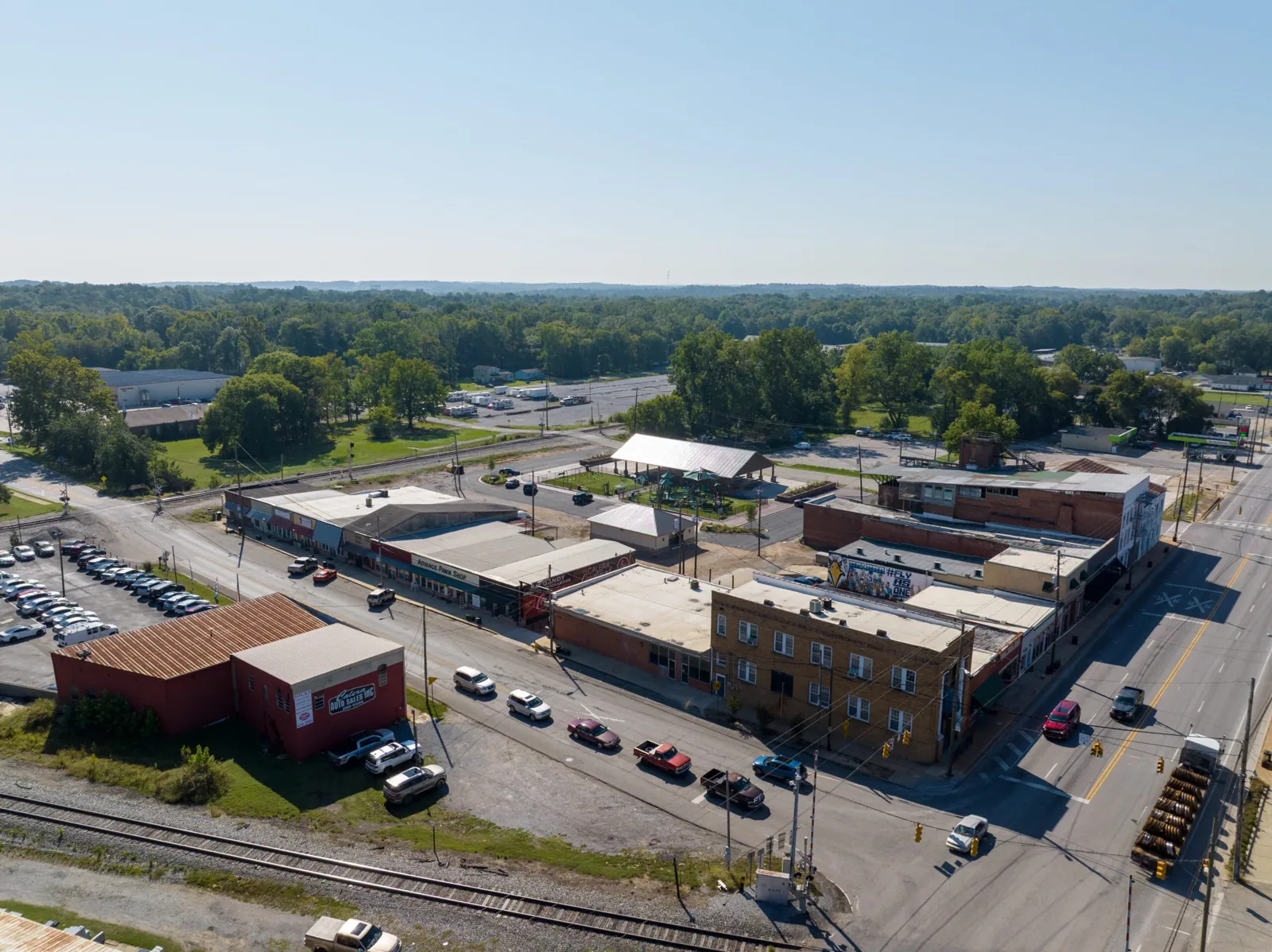
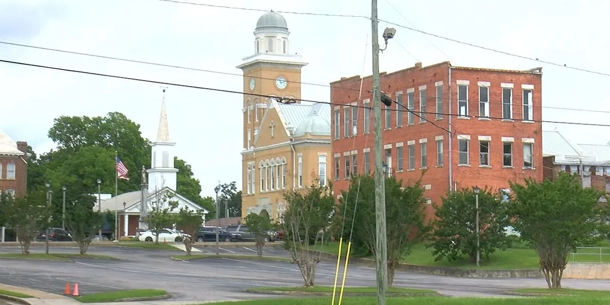
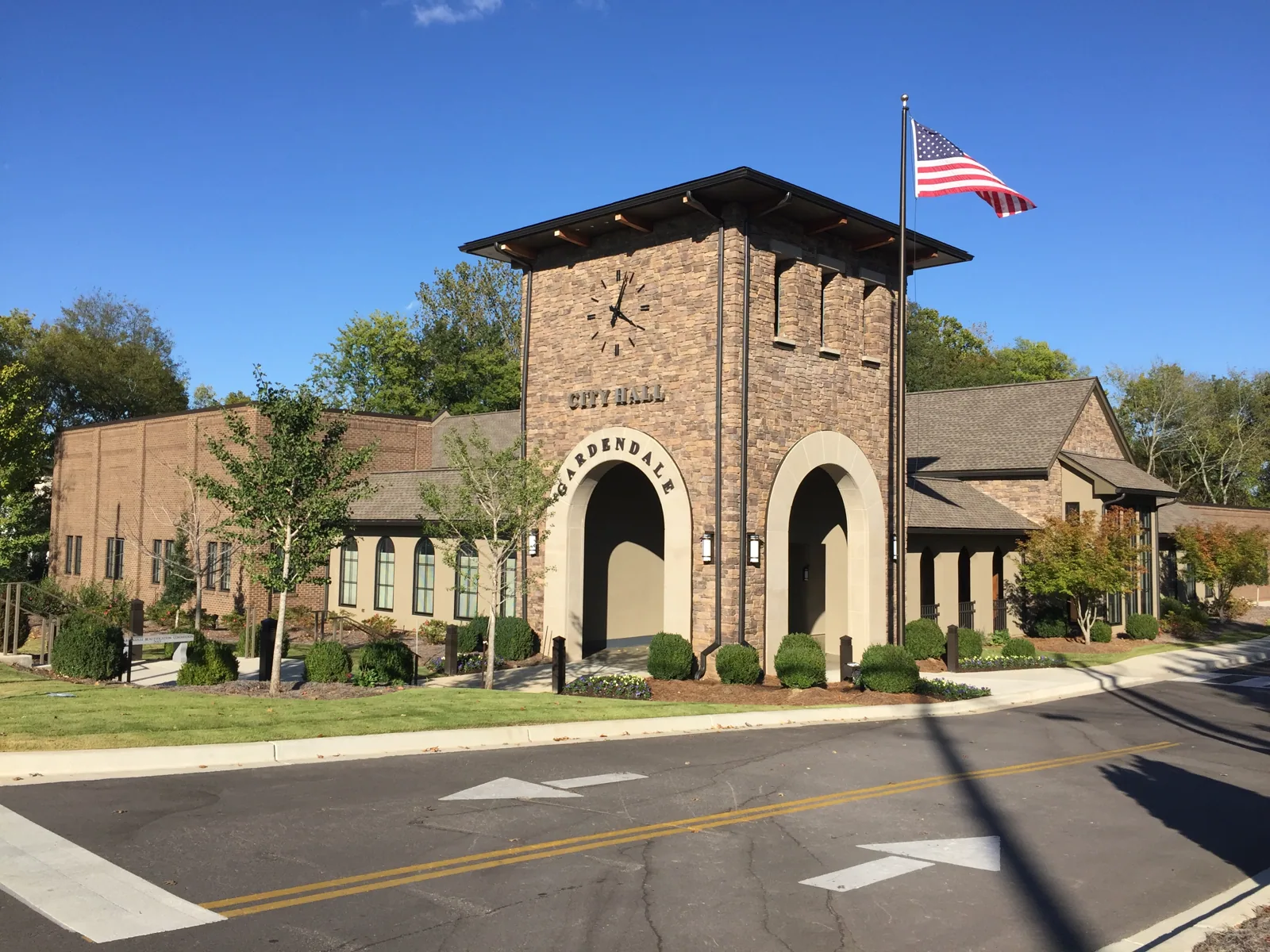
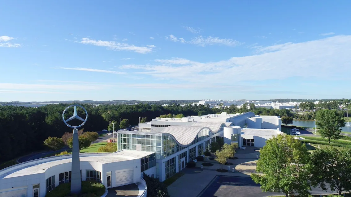
Northport sits across the Black Warrior River with its own medical center and retail, and Vance is home to Mercedes-Benz U.S. International. Other towns in the county, from Cottondale and Holt to Moundville and Brookwood, get the same walk-and-record method. I-20/59, US 11, US 43 and US 82 cross the county, and those routes tie the outlying sites into one schedule.
A hospital campus in Northport and a supplier plant in Vance share little beyond the weather, so the scope for each starts from the building: its deck, its drains, its rooftop equipment and the people and product underneath. The same photo set and leak-log format go into every file, wherever the building sits.
One climate, many roofs
Across the area the weather is the same: about 53.5 inches of rain a year, a record high of 107 F and wind that arrives as tornado or straight-line storm. A May 2025 survey found 90 to 100 mph winds north of Northport, and that sets the baseline for edge metal and fastener checks everywhere in the county.
Where to start
For buildings spread over several districts, one list of addresses is enough to build a single route that starts at the sections carrying the most risk.
Commercial Roofing Questions
Do you work outside Tuscaloosa city limits?
Yes. The area runs through the county and nearby towns, from Northport to Vance and beyond.
Does location change the method?
The method stays the same. Building use, access and storm history change the scope.
Can one crew cover buildings in several towns?
Yes. A single route can cover several sites, with the highest-risk sections first.
How fast is emergency response?
Response runs around the clock, holidays included, with arrival time set by the call and the weather.
Send the building list
Send the building list and last roof report, and a superintendent will walk the highest-risk sections first and return a ranked condition summary.