Drone Roof Inspection in Tuscaloosa, AL
The first time a superintendent sees a large industrial roof in Tuscaloosa, AL from the air, the problems that took hours to find on foot show up in minutes: a line of ponding that follows a low spot in the deck, a patchwork of old repairs near a dock, or a corner where the membrane has pulled from the wall. The drone does not replace the walk. It tells the crew where to spend their time on it, and it leaves a dated record that an owner can compare against next year.
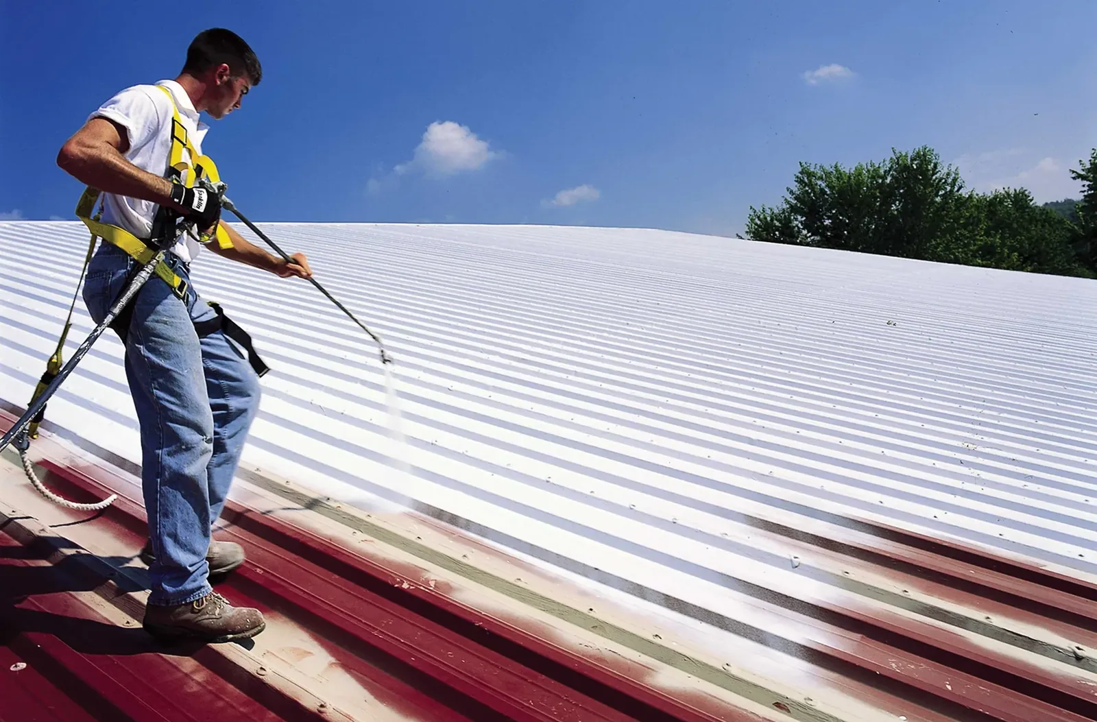
For roofs that are very large, steep, fragile or hard to reach, aerial imagery also reduces the number of times someone has to step onto surfaces that may not hold a person safely.
What the Camera Sees and What It Does Not
A drone with a high-resolution camera records surface condition across the whole roof: standing water, staining, debris, open laps, displaced coping, missing fasteners on metal panels, damaged rooftop equipment and signs of past repairs. Overlapping images are assembled into a map, so a manager can look at the entire roof at once and zoom into trouble spots. When equipped with a thermal camera, the same flight can show temperature differences that hint at wet insulation.
What the camera cannot do is touch the roof. It cannot tell whether a patch is bonded, whether a seam is welded all the way or whether a deck beneath the surface has softened. Those answers come from the hands-on follow-up. That is why we use the aerial survey as a guide and not a conclusion, and why the resulting report always lists what needs to be verified on the roof.
Flight planning matters as much as the camera. We fly at a consistent height with enough overlap between images that a crack, a fastener row or a patch edge is sharp when enlarged. Morning light is often best for ponding and staining, while late afternoon light shows thermal differences more clearly on a roof that has absorbed the day's heat.
Where Drones Earn Their Place
Large roofs benefit most. Tuscaloosa County Airport Industrial Park spans 1,000 acres on Robert Cardinal Road, and Cedar Cove Technology Park covers 950 acres near I-59. Large buildings in parks of that scale can carry long uninterrupted runs of membrane or metal, and a walk over such a roof is a long one. A drone gets a first picture in a fraction of the time.
Steep or complex roofs are the second case. Standing seam metal roofs with high eaves, roofs with many levels and roofs with fragile skylights are safer to review from the air first. Multi-building properties are the third, because a drone can run through a list of buildings in a single visit and give the manager a comparison of conditions. The University of Alabama campus alone has 297 buildings, and the college and university roofing picture across a campus shows why a repeatable aerial baseline is useful.
Flying After a Storm
After wind, an aerial survey gives a quick read on a building before anyone climbs. The EF4 tornado of April 27, 2011 cut through 35th Street warehouses and the McFarland Boulevard retail strip, and 90 to 100 mph winds blew through the county north of Northport in May 2025. After wind of that kind, an owner needs to learn quickly which buildings are open to the weather and which need only a check.
Images taken from above show displaced membrane, torn flashings, missing coping and roof-mounted equipment that has shifted. In Northport and across the county, a flight takes only a fraction of the time of a full walk and helps us rank buildings for emergency tarping. Findings feed into storm damage roof repair and into insurance documentation, since dated images show conditions before any temporary work disturbs them.
Flight Rules, Airspace and Privacy
Flights follow FAA rules and the limits of the airspace over each property. Tuscaloosa Regional Airport lies about 3.5 miles northwest of the city, with an instrument runway, and buildings near the airport corridor need extra attention to altitude and approach paths. We check the airspace for every site before the flight and adjust the plan when needed.
Privacy and site safety matter as well. On occupied buildings, we tell the manager when a flight is planned, avoid flying over people, and keep the drone clear of live operations. Where a property has sensitive areas, such as healthcare campuses or manufacturing plants with proprietary processes, we agree on boundaries in advance and share only the roof imagery the owner requests.
What the Owner Receives
The deliverable is a set of annotated images and a roof map, tied to a short written summary. Each flagged area is numbered and linked to a recommended action: inspect on foot, probe for moisture, repair, or monitor. The summary ranks buildings and sections so a manager can see priorities across a portfolio, and the images are stored with a date for comparison next year.
The flight feeds directly into our commercial roof inspection and, where moisture is suspected, into an infrared moisture survey. For owners with many buildings, the images become part of a roof asset management record that can be reviewed every year.
Where a Drone Is Not the Answer
A drone adds little on a small roof that can be walked in twenty minutes. It also gives limited value when rain, fog or low light hide the surface, and when very new roofs offer little to see. In those cases, we skip the flight and spend the time on the roof, where it counts. The aim is to match the tool to the question, not to sell a flight on every job.
An owner who wants a baseline for a portfolio, however, gets good value from a first survey across all buildings, followed by targeted walks on those with the most risk. That mix keeps cost under control while covering every roof.
Commercial Roofing Questions
Can a drone find a leak?
It can point to the likely area by showing ponding, staining and open laps, and a thermal camera can reveal wet insulation. The entry point is confirmed on the roof with moisture readings and, where needed, a core cut.
How soon after a storm can you fly?
As soon as wind and lightning allow. Winds that damaged roofs can also ground a drone, so the flight often follows the storm by a few hours rather than minutes.
Are the images good enough for an insurance claim?
They help as dated evidence of condition, especially when paired with a written description and photographs taken on the roof. The carrier decides what it accepts, and we organize the material to make that review easier.
Does the flight disturb tenants?
The drone flies over the roof, not over people, and we notify the manager beforehand. Noise is brief, and tenants rarely notice.
Do I still need someone on the roof?
Yes, for any roof with a history of leaks or a warranty to maintain. The aerial survey picks the spots, and a superintendent confirms them by touch and by test.
What does a repeat flight show that the first one did not?
A second flight on the same roof, flown the same way, reveals change: a pond that has grown, a patch edge that has lifted or a line of staining that has spread. Change over time is often a stronger signal than a single image.